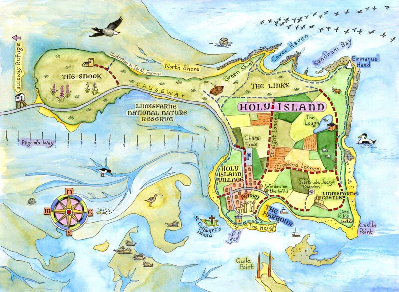
Holy Island Map for Northumberland AONB
Project Background
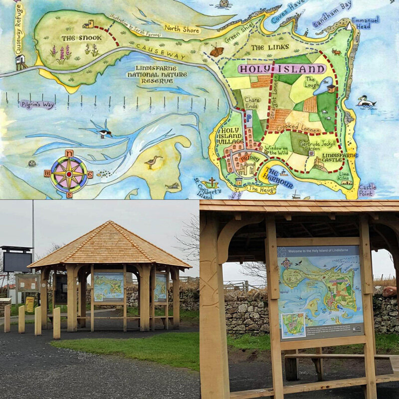
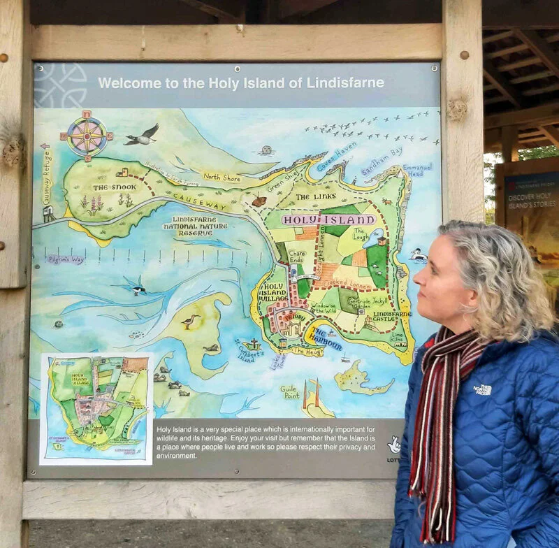
Holy Island is one of the most beautiful and spiritual places in England. However when visitors arrive on the island and park in the huge Chare Ends car park it’s really difficult to get a sense of this. In 2017 The people at Northumberland Area of Outstanding Natural Beauty planned to install an illustrated map in various locations in order to show the island in all it’s glory, the main footpaths, and the lay out of the village. They built a really tasteful wooden shelter in the car park and asked me to make the map.
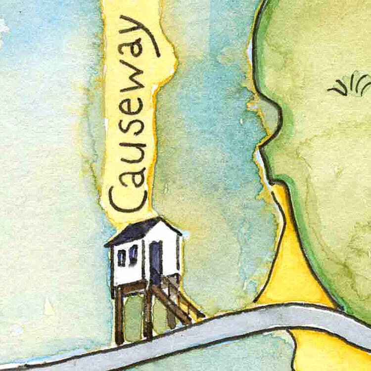
This was a subject I’d long wanted to paint, so I went to town on all the little details. Of course the Castle, the Gertrude Jekyll Garden and the Priory are the main features. but behind the scenes there was much debate about what to include and how to show it. Working alongside Iain Robson from the AONB meant that the project ran smoothly and I was blissfully unaware of any disagreements (not always the case!).
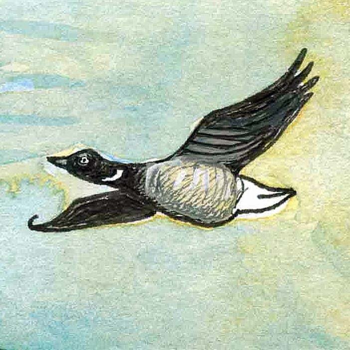
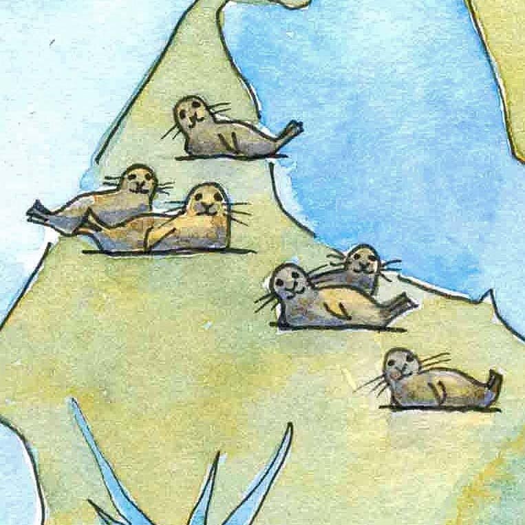
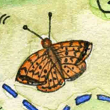
With much advice and opinion from family members, I included Grey Seals, Brent Geese, a Dark Green Fritillary butterfly and the vanishingly rare Lindisfarne Helleborine orchid (which I had been on a trip to find a couple of years prior to this - possibly the least exotic-looking orchid in existence!).
Here’s how the map turned out….
I was very pleased when I was given permission to sell my map as a print and card. The Northumberland AONB are very supportive of local artists and businesses and will help in any way they can.

They then wrote a small book called “Holy Island - A Visitor’s Guide” (which is excellent) and printed the map in the front and back covers.


I thoroughly enjoyed this project and I know I shouldn’t admit to it but every time I’m on Holy Island I get a little thrill when I leave the car park…