A Story of Two Yetholms
Project Background
A tribute to Anne, who spent her last very happy years in Town Yetholm. Anne grew up in Northumberland close to the Scottish Borders and had always longed to return. A few years ago she achieved her dream and moved back to this beautiful part of the country with her husband John. They had three happy years exploring the area together before she sadly passed away.


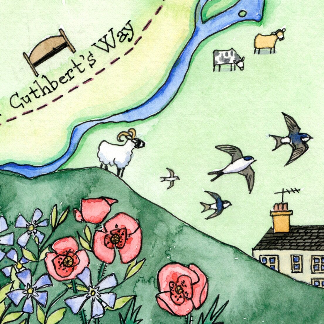
John got to work finding ways to remember her and to celebrate her life in Town Yetholm. He commissioned a memorial bench, made from recycled plant pots and aluminium cans to withstand all weathers! The bench now sits by the side of the St. Cuthbert’s Way surrounded by her favourite flowers.
Then he had the idea of making a map to illustrate her favourite places…
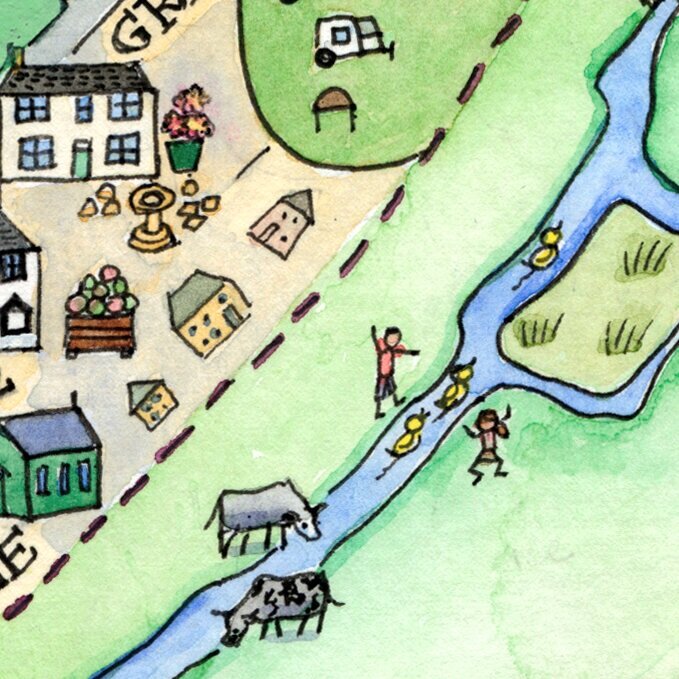
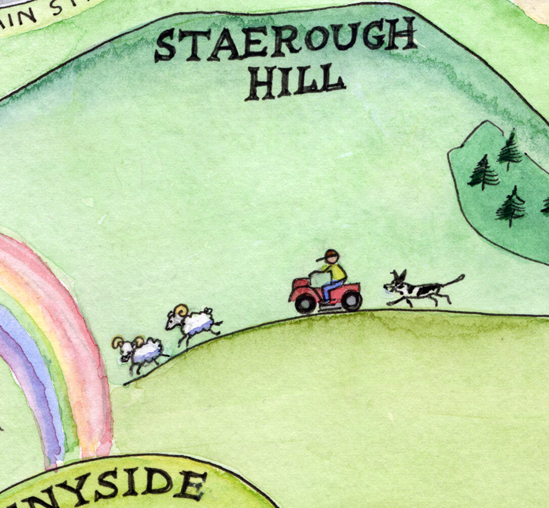
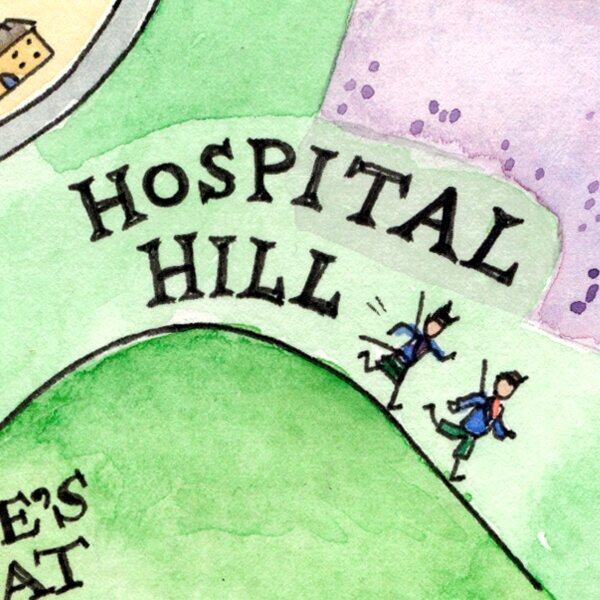
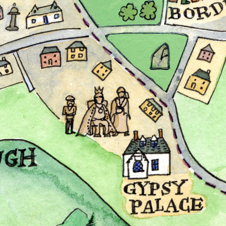
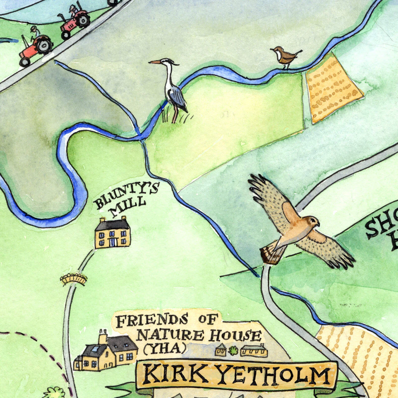
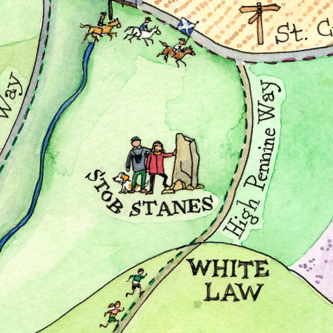
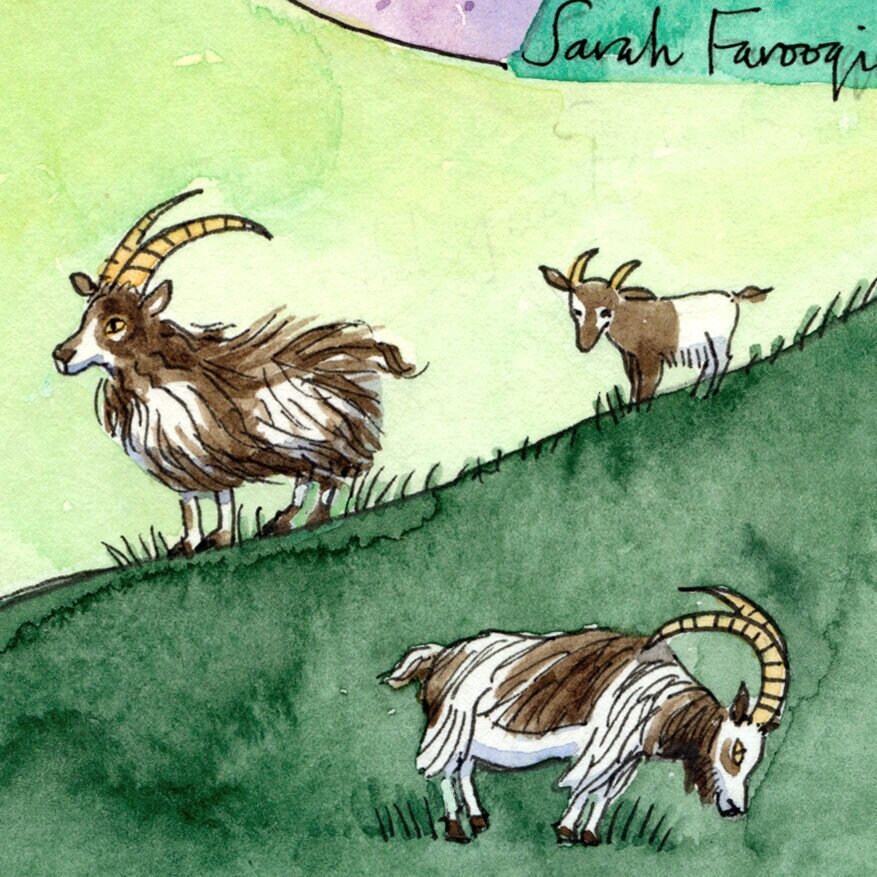
We spoke on the phone and he sent me through a huge number of photos, documents, and even a couple of books on these two fascinating villages. Kirk Yetholm marks the top of the Pennine Way and the St. Cuthbert’s Way passes through Town and Kirk Yetholm on its journey to Holy Island. They are surrounded by a stunning landscape of hills, moors and forests. I needed to capture this, and also the minute details of life in the Yetholms, from the duck race along the Bowmont to the shepherds on quad bikes, the soldiers (historically) fleeing the battle on Hospital Hill and the Gypsy Palace, a tiny house which was once home to the famous Gypsy King…
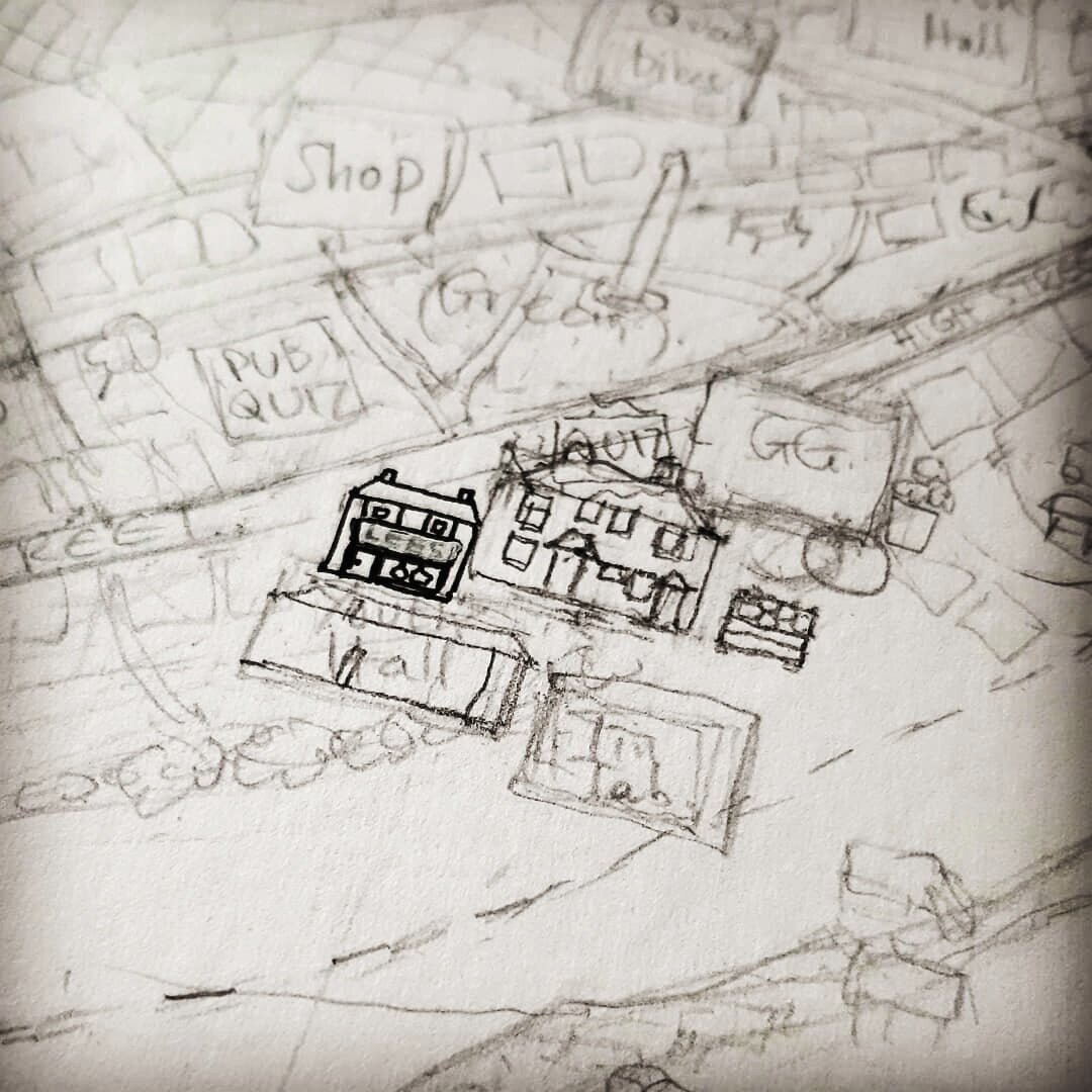
The geography was going to be a huge challenge, as I haven’t been able to visit. John sent me a rough sketch to get me started, along with a whole range of maps and photos, all of which combined to get me thoroughly confused!

John’s initial sketch.
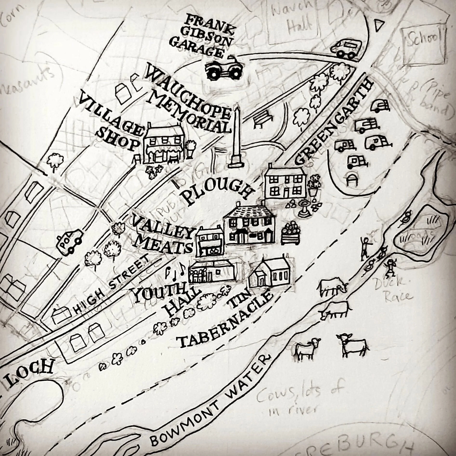
Eventually we had a pencil drawing where everything was roughly in the right place!

My pencil drawing.
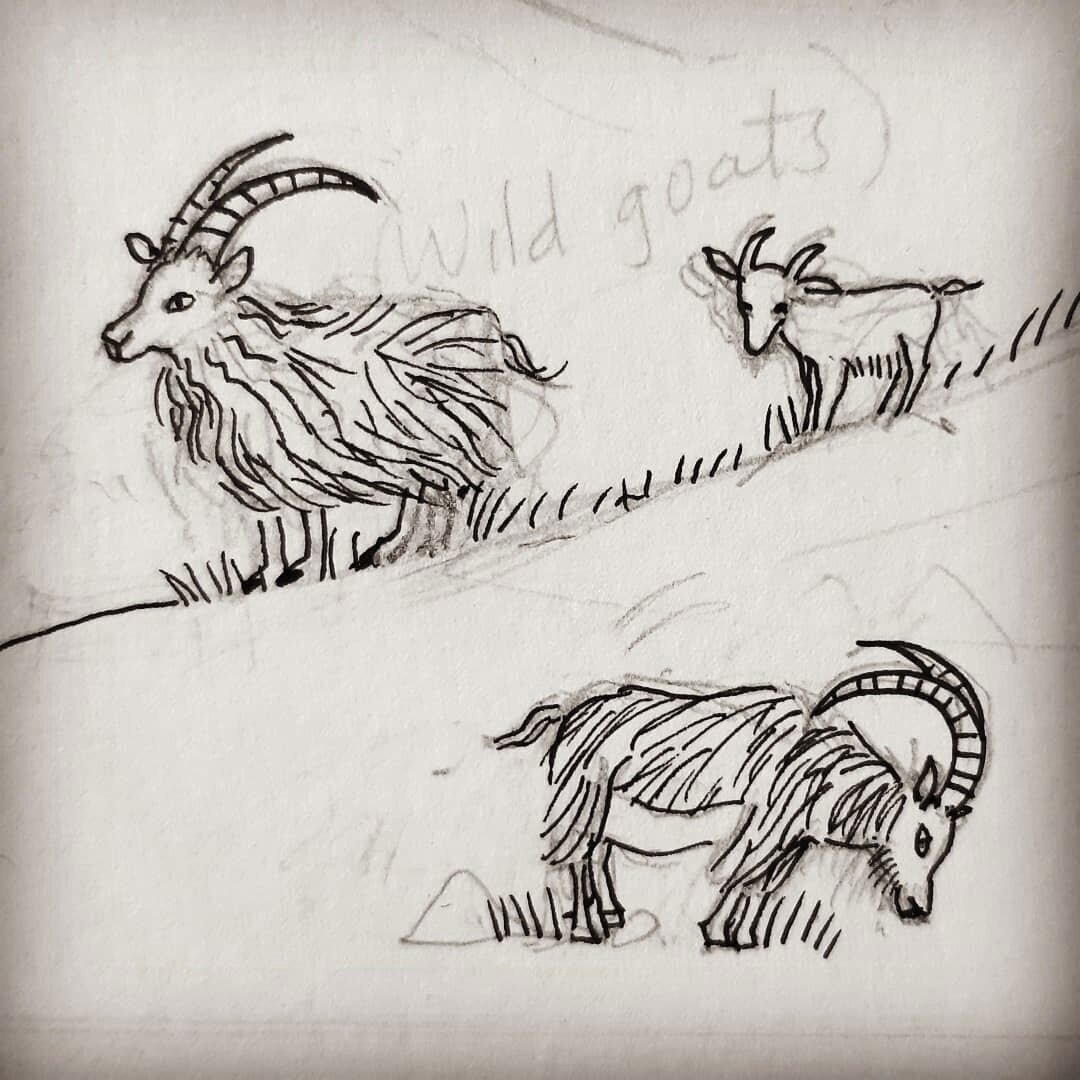
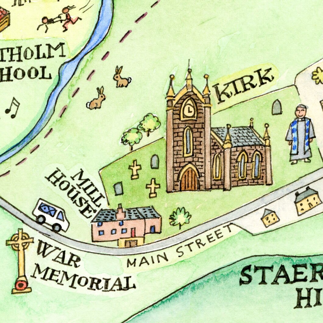
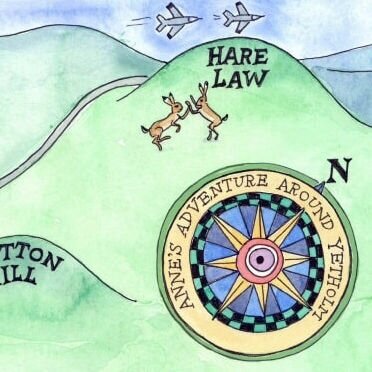
Here are a few details I captured as I went along, including the addition of some wildlife and even an excerpt from a poem by Sir Walter Scott…
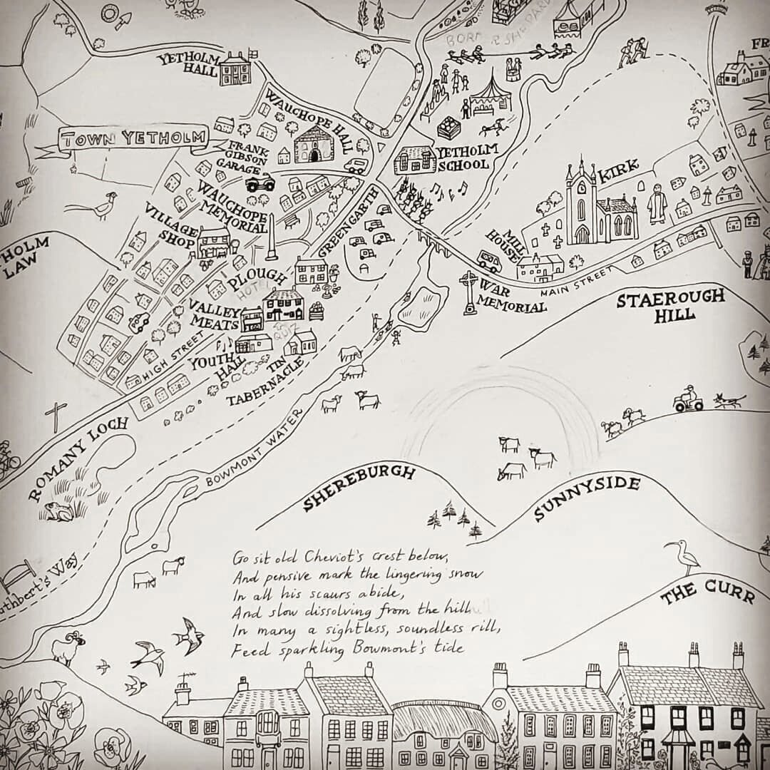
At this point John had the idea that a frieze of Town Yetholm High Street along the bottom of the map might look good, so I added it to the ink drawing. Each house is different and there is even a thatched cottage so I really enjoyed this bit..
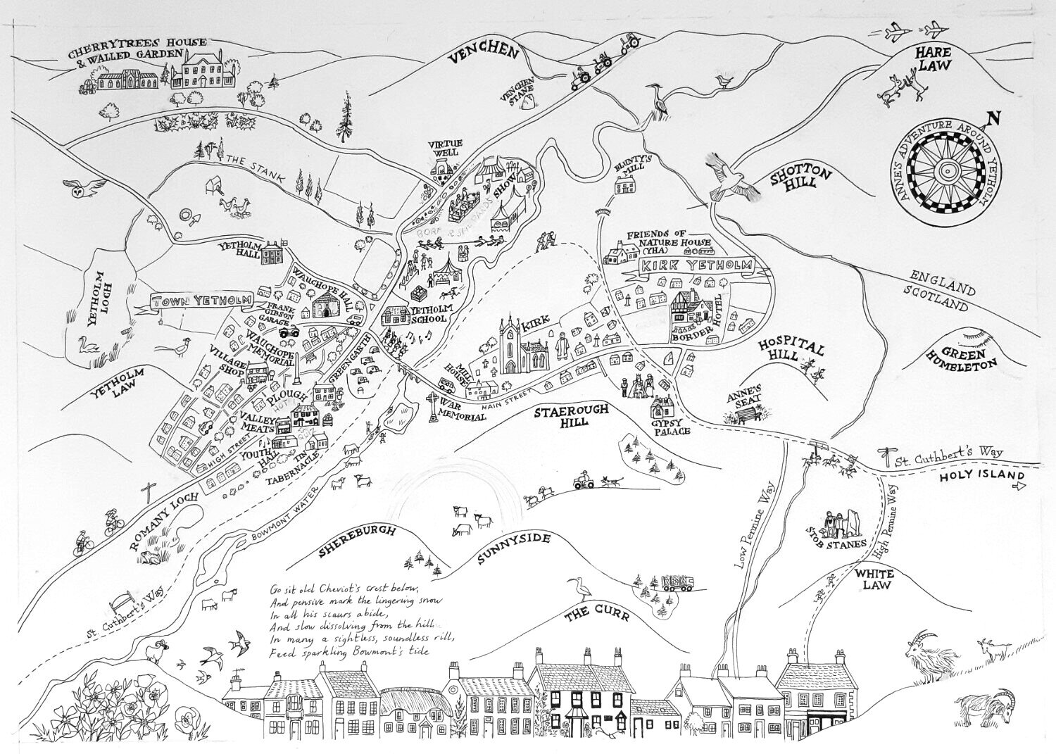
The final ink drawing.
It’s a very large map (over A2 size) and hard to see all in one go, so here are a few of my favorite bits..
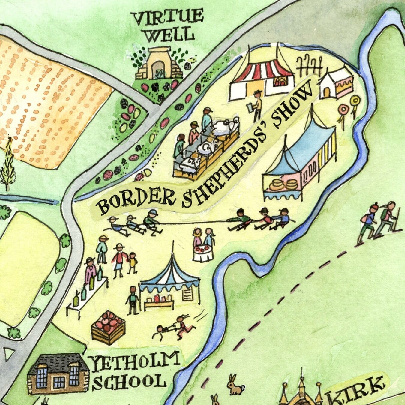
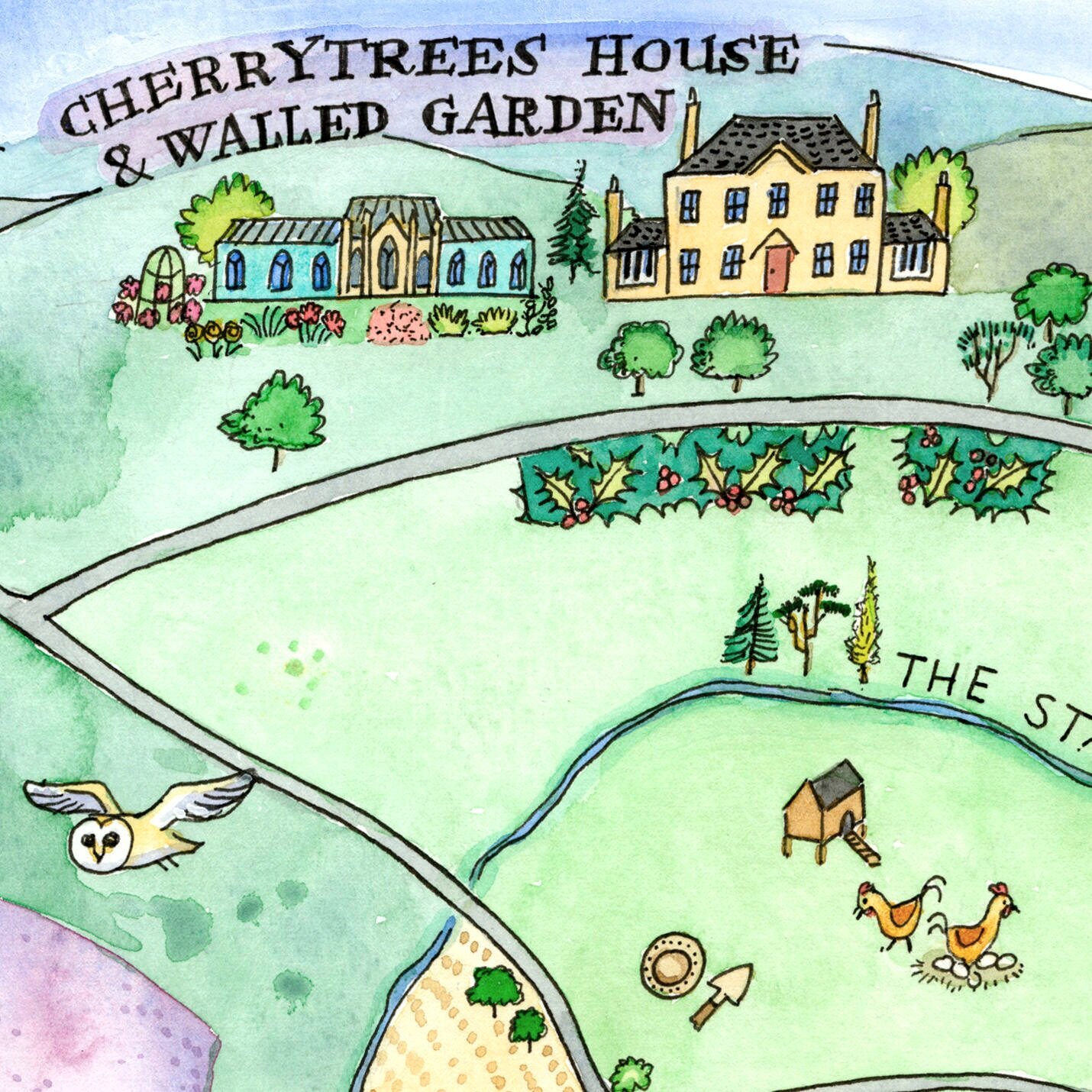

Here’s the whole painting…

This is one of my most complex maps and once I’d got past the geographical issues I really loved making it. John’s detailed knowledge of the area and its history, combined with his determination to include all of Anne’s favourite things (whether walks, wildlife or quiz nights at the Plough) helped to make this a really meaningful map. Those are the best kind of maps…